Joshua Tree National Park
Details
- Venue
- Joshua Tree National Park
- Address
- 6554 Park Blvd, Joshua Tree, CA 92252
- Price
- Entrance pass required
- Distance
- Short walks from 0.4 to 1.7 mi
- Effort
- Easy
- Trail info
- www.nps.gov
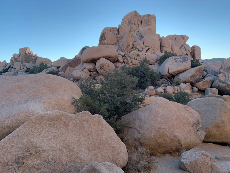
Rounded boulders stacked into a pile Photo: otbla.com 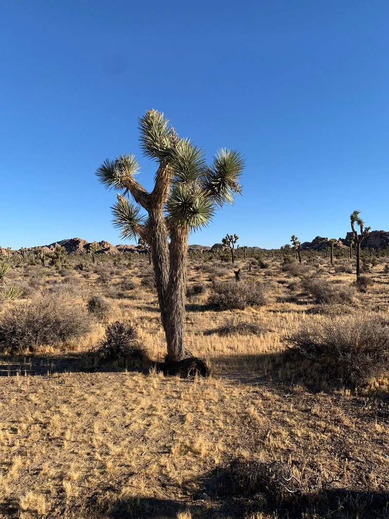
A Joshua tree in dry grass, with more of them behind Photo: otbla.com 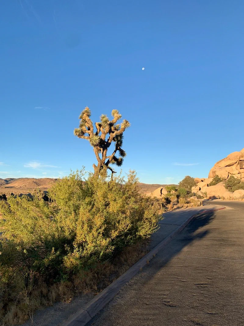
A paved road past a Joshua tree, with the moon still up Photo: otbla.com
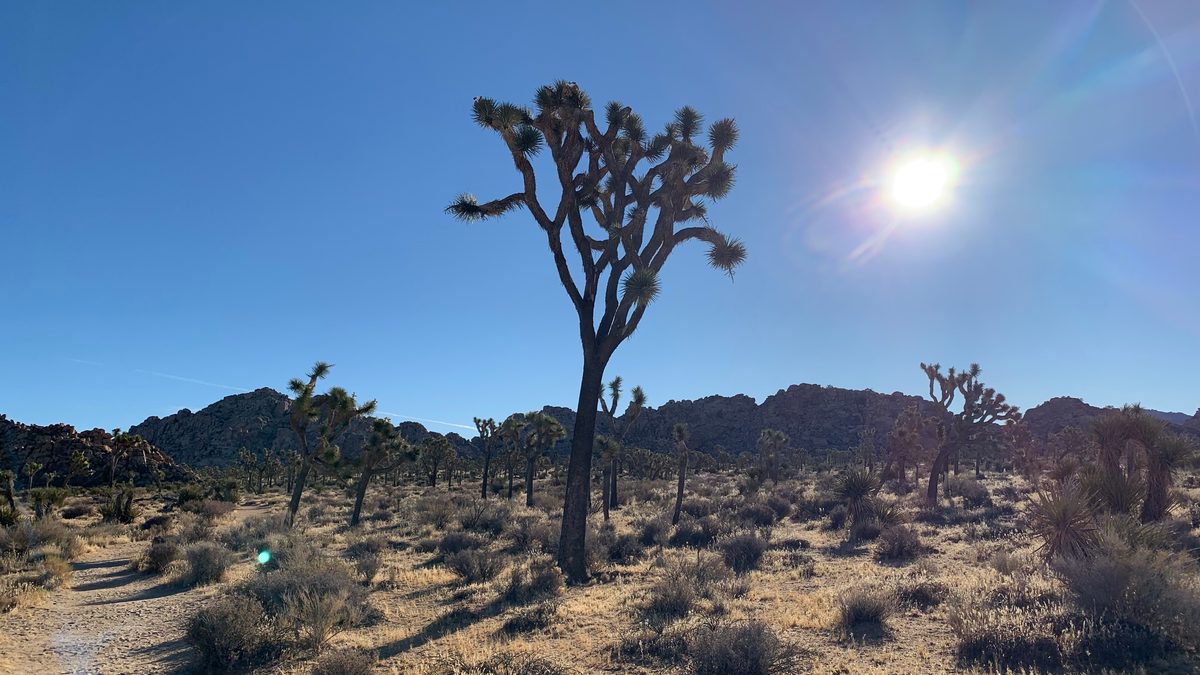
Joshua Tree National Park covers about 795,000 acres, about 130 miles east of Los Angeles, and two deserts meet inside it. The higher Mojave in the west holds most of the Joshua trees. The lower Colorado Desert takes over to the south and east. Before you pick a route, plan for two things: the middle of the park has no drinking water, and most of it has no cell signal.
What's Worth Seeing
Park Boulevard is the main drive. It links the West and North entrances, and the National Park Service says it can show you much of the park in a couple of hours. It passes Hidden Valley, Cap Rock, Ryan Mountain and Skull Rock, with short detours to Keys View and Barker Dam. Keys View looks out over the San Andreas Fault and the Salton Sea.
If you want a short walk, Cap Rock is a 0.4-mile loop at the Keys View Road junction, and Hidden Valley is a 1-mile loop through a valley ringed by rock. Barker Dam is 1.1 miles and Skull Rock is 1.7.
The boulder piles have a good story. They are monzogranite that cooled underground more than 100 million years ago and cracked into blocks. Groundwater rounded those blocks off, and flash floods later washed away the ground around them, leaving the boulders stacked on each other.
Pinto Basin Road runs south from Park Boulevard into the Colorado Desert, past the Cholla Cactus Garden to Cottonwood Spring. The park suggests its pull-outs as a way to get off the busier routes.
Good to Know
Carry at least a gallon of water per person per day, and keep extra in the car. You can fill up at the West Entrance Station, Indian Cove Ranger Station, park headquarters and the Black Rock and Cottonwood campgrounds. The park has no gas stations, restaurants or stores.
Summer highs often pass 100 degrees and there is little shade. The park says to hike before 9 a.m. or after 5 p.m. in summer, and to treat confusion, nausea or a rapid pulse right away by cooling down and getting medical help. Flash floods are most common from July to October and can happen on a sunny day. Rattlesnakes live throughout the park, so keep your hands and feet out of holes and from under rocks.
Download the NPS app and its offline content before you lose signal, and carry a paper map. Tell someone your route and when you'll be back. Don't count on a rideshare to get you out. Emergency phones are at Cottonwood Visitor Center, Indian Cove Ranger Station and Intersection Rock.
Fall, winter and spring are the busy seasons, with long lines and full lots. The park suggests reaching your first stop before 9 a.m. Pets have to stay within 100 feet of a road and aren't allowed on the trails, apart from the Oasis of Mara.
How to Get There
You reach the park from Interstate 10 or Highway 62, the Twentynine Palms Highway. There are three entrances:
- The West Entrance is five miles south of the junction of Highway 62 and Park Boulevard in Joshua Tree.
- The North Entrance is in Twentynine Palms, about three miles south of Highway 62 and Utah Trail.
- The South Entrance is near Cottonwood Spring, off Interstate 10, about 25 miles east of Indio.
The park warns that GPS can send you onto backcountry roads with ruts or soft sand, so use the park's directions page. West to North takes about 45 minutes inside the park, and West to South about an hour and a half.
No reservation is needed, but every vehicle needs an entrance pass. Buy a digital one ahead and save it to your phone. The Joshua Tree Visitor Center is at 6554 Park Boulevard, and the conditions page lists closures and alerts.
Nearby
- The Noah Purifoy Desert Art Museum in the town of Joshua Tree is an outdoor site of assemblage art and sculpture. Dirt roads there can be damaged after storms.
- Big Morongo Canyon Preserve is a day-use preserve in Morongo Valley, off Route 62. Dogs aren't allowed, even on a leash.
Where It Is
About 110 miles from downtown LA in a straight line.
Get directions