Switzer Falls
Details
- Venue
- Switzer Picnic Site
- Price
- Adventure Pass to park
- Distance
- About 4.5 mi round trip
- Effort
- Moderate
- Trail info
- www.alltrails.com
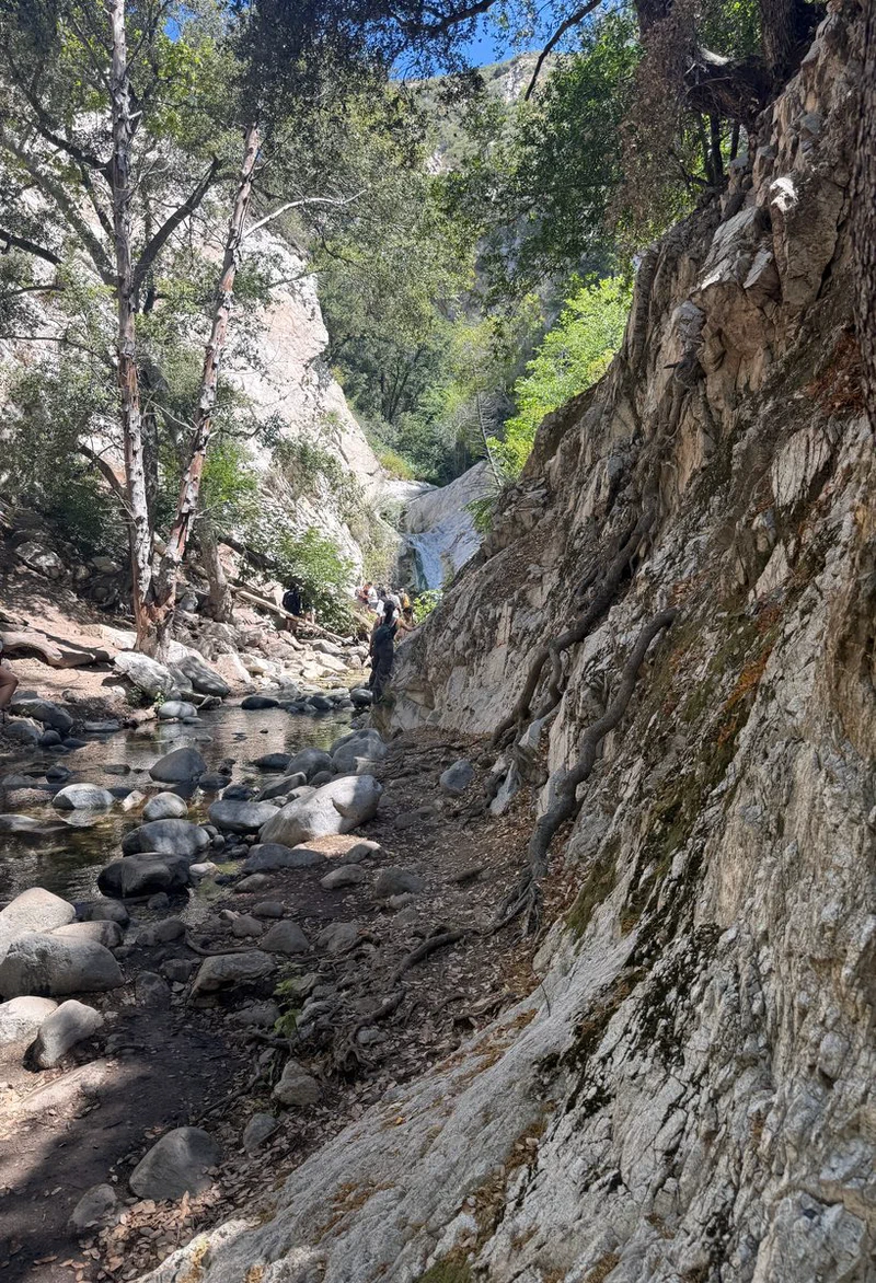
The creek below the falls, where the trail gets rocky Photo: otbla.com 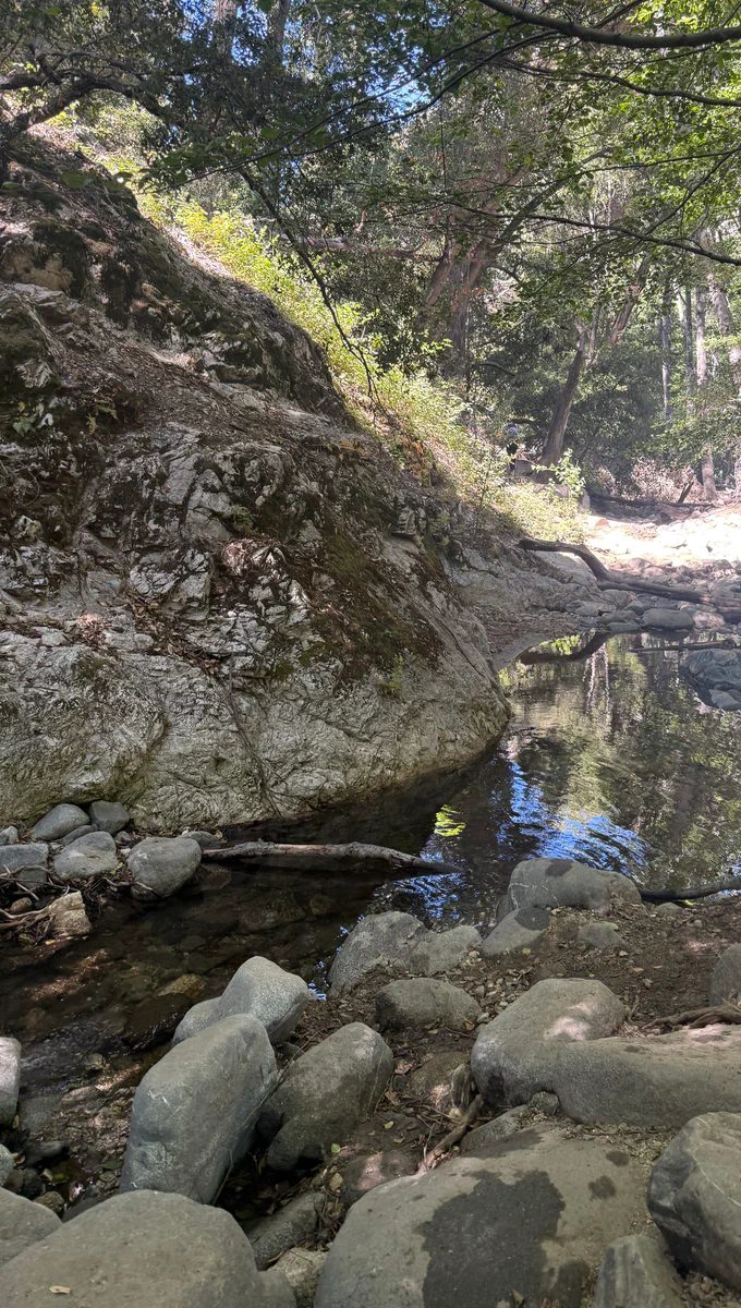
A quiet pool on the Arroyo Seco Photo: otbla.com 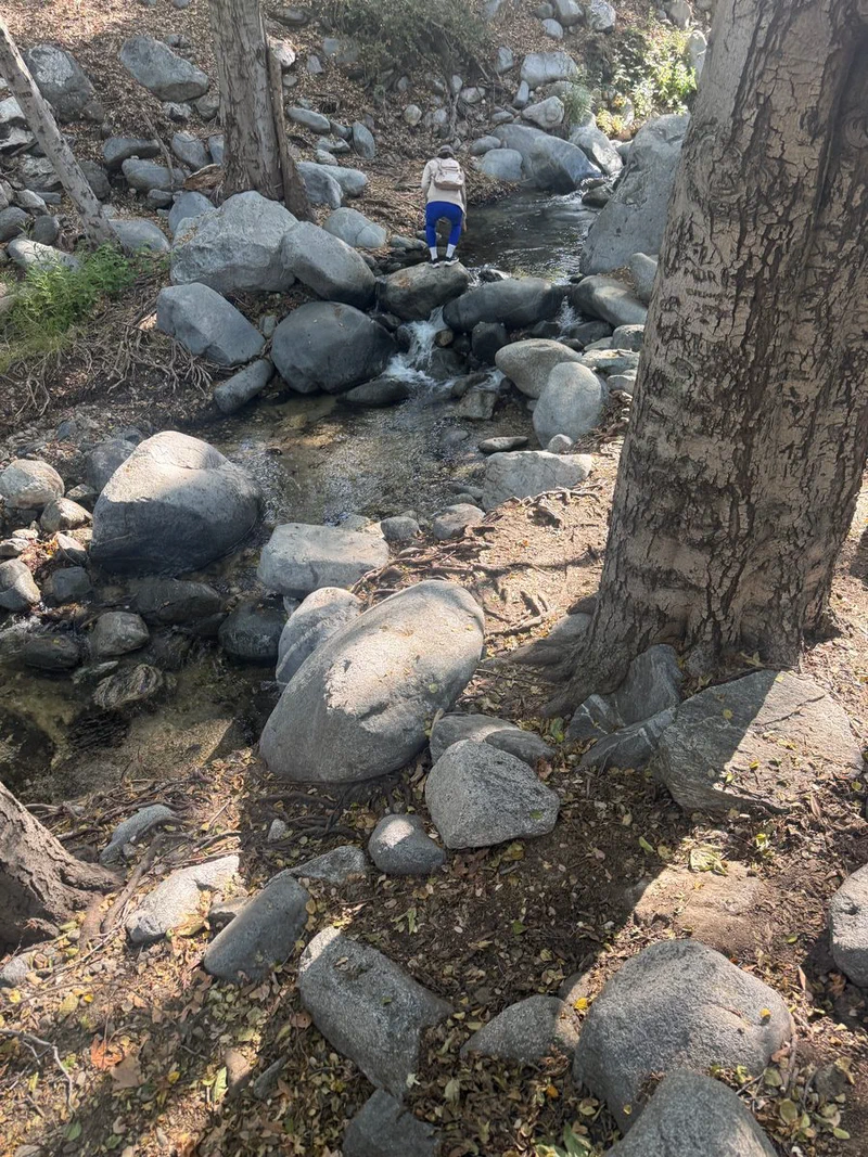
Expect to pick your way over boulders along the stream Photo: otbla.com 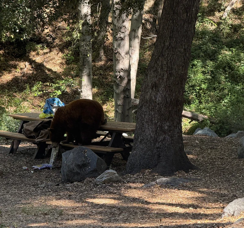
A black bear at a table in the picnic area, in full daylight. Keep food packed up. Photo: otbla.com 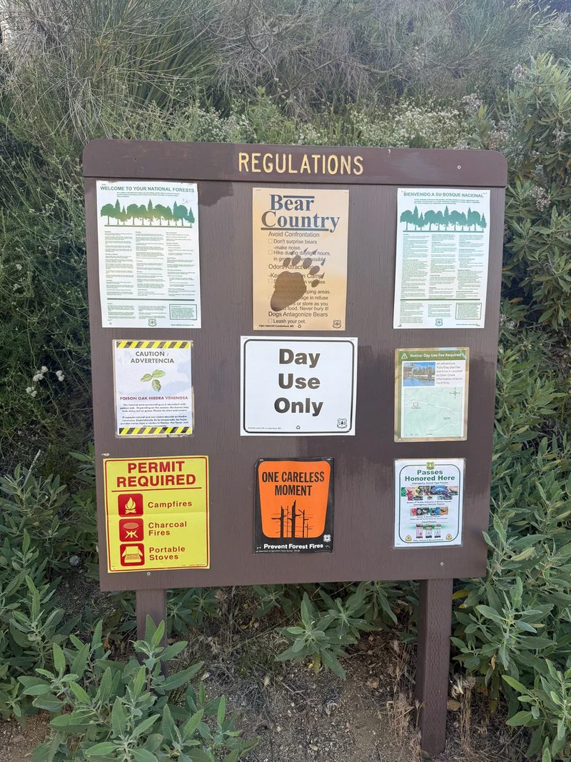
Read the board on the way in: bear country, day use only Photo: otbla.com
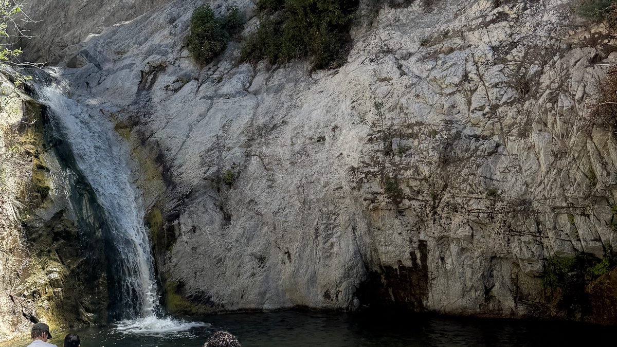
Switzer Falls is a waterfall in the San Gabriel Mountains, reached by a creek trail that starts at the Switzer Picnic Site off Angeles Crest Highway. The first mile is mostly in shade with the water beside you, and the trailhead is only about 10 miles up from the 210. Plan for one thing: this is bear country, and the photo of a bear at a picnic table on this page was taken here in full daylight.
What's Worth Seeing
The walk starts on the Gabrielino Trail and follows the Arroyo Seco down the canyon, crossing the water a few times. The first mile is the easy, shaded part, with pools and boulders to stop at.
Around 1.5 miles there is a junction. The Gabrielino climbs off to the right. Stay left, and the side trail runs along Bear Canyon, where you can look across at the top of the falls. It then drops to the creek, and you turn upstream to reach the pools below the falls.
Past the pools the trail ends. Getting to the base of the falls means scrambling over rock, and plenty of people stop at the pools instead. The whole trip is about 4.5 miles out and back with about 650 feet of elevation change, and because you start high, the climb comes on the way back.
Good to Know
Keep food in a closed bag and on you, and never leave it on a table while you walk. Keep your distance from any bear you see. The state's bear page linked below explains what to do.
The Forest Service lists no drinking water at the site, so bring your own. Creek crossings can get deep and fast after heavy rain, so skip this one right after a storm. Fire restrictions and area closures change often, so check the site page for current conditions before you drive up.
How to Get There
From the 210 in La Canada Flintridge, take Angeles Crest Highway (CA 2) northwest for about 10 miles to the Switzer turnoff. The road down to the picnic site is steep with two-way traffic, so take it slowly. If the lower lot is full, park at the top of the road and walk down.
You need an Adventure Pass or America the Beautiful Pass to park. The Forest Service page has the current rules, fees and hours. Plan on driving.
Nearby
- Mount Wilson Observatory is farther up in the same mountains, with a historic observatory at the top.
- Descanso Gardens in La Canada Flintridge is an easy stop on the way home.
- The Gabrielino Trail keeps going past the junction if you want a much longer day. Check for closures first, since parts of it have been affected by recent fires.
Where It Is
About 16 miles from downtown LA in a straight line.
Get directionsWorth Reading
- Switzer Picnic Site, Angeles National Forestfs.usda.gov
- Switzer Falls trail guide, Hikespeakhikespeak.com
- Black bear safety, California Department of Fish and Wildlifewildlife.ca.gov